BELVER (GAVIÃO)
N 39.49402; W 7.95898
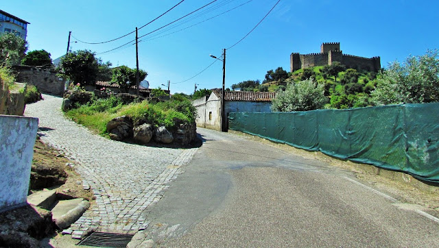
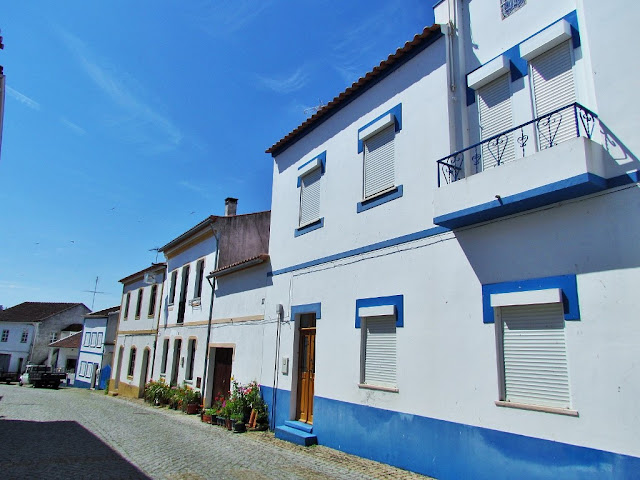
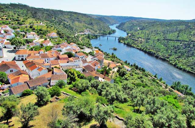
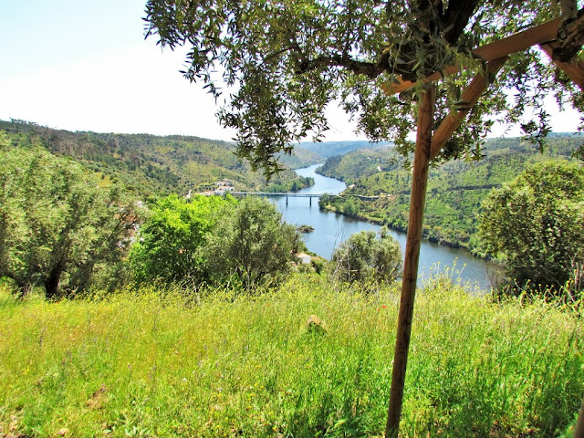
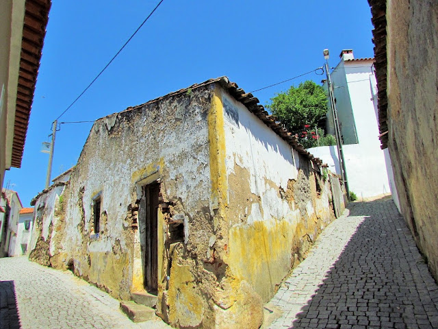
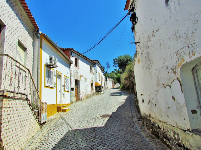
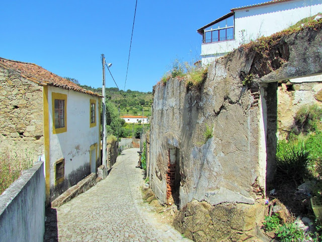
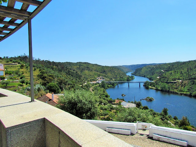
Belver is a Portuguese civil parish in the municipality of Gavião, district of Portalegre. The population in 2011 was 684, in an area of 69.84 km2. It is situated along the northern bank of the Tagus River.
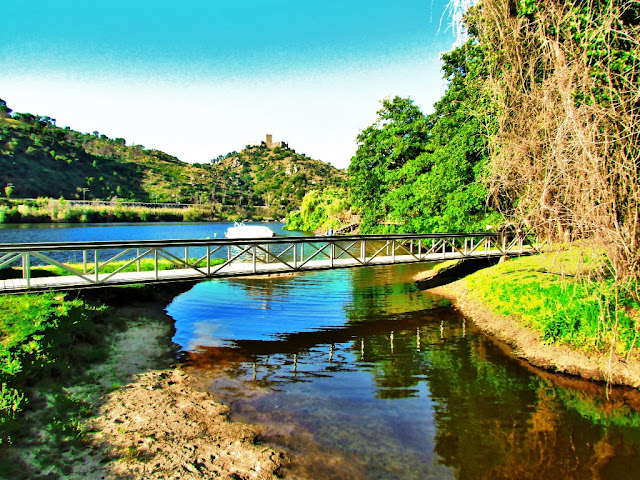
In 1905 a bridge was completed over the Ribeira de Belver.
Belver is the northernmost civil parish of the municipality, and the only one on the northern margin of the Tagus River (the remaining parishes of Gavião are on lands south of the Tagus). It is bordered by Gavião and Atalaia parishes (in the south), while surrounded by the parishes of Envendos, Mação, and Ortiga (in the neighboring municipality of Mação) to the northeast, north, and northwest, respectively. It is located 5 kilometers (3.1 mi) from the urban center of Gavião along the left margin of the Tagus.
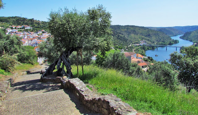
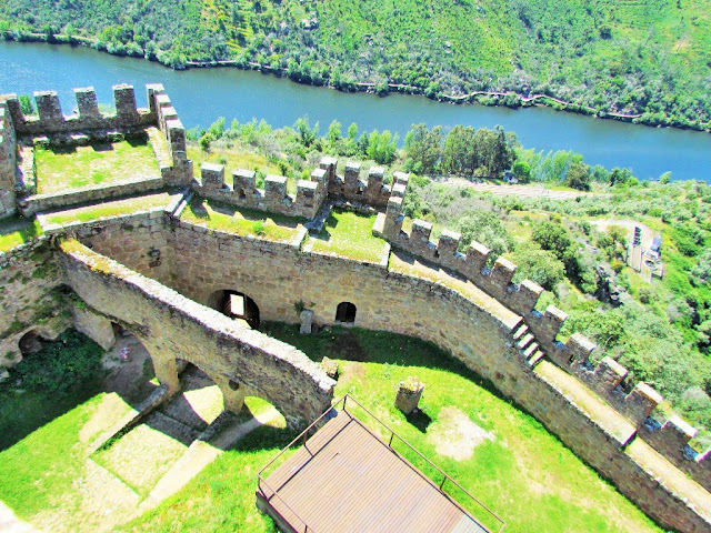
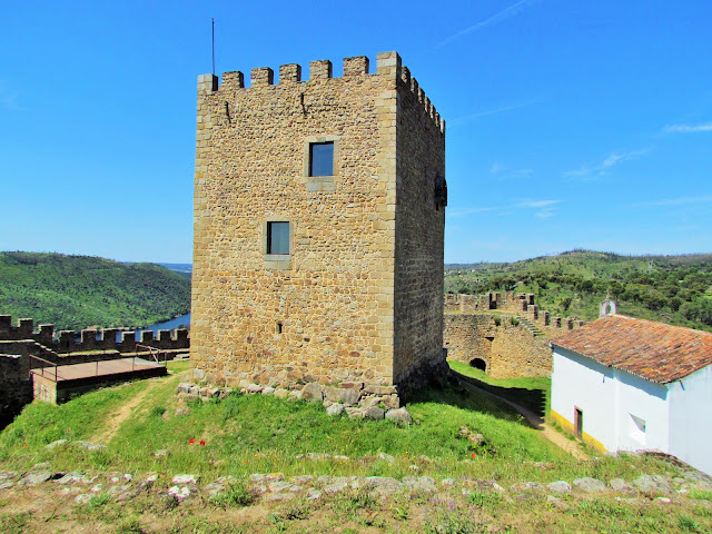
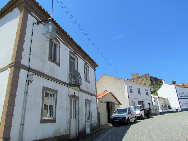
The parish is situated in the river valley, 500 meters (1,600 ft) from the right margin of the Tagus River, along the confluence of the Ribeira de Belver. Its highest elevation is occupied by the 150 meters (490 ft) hilltop surmounted by the Castle of Belver, while the urban area is 125 meters (410 ft) above sea level. Surrounding these hilltops are several olive orchards.
It is accessible by rail link (the Beira Baixa railway), with its stop in the city center. Alternatively, the main access is along the A23/IP6/E806 motorway (Auto-Estrada da Beira-Interior), passing through the northern part of the parish, then 5.5 kilometers (3.4 mi) south to the Tagus basin.
River Beach of Ortiga ⇄ Belver Dam ⇄ Pedrestian Trail PR1 ⇄ River Beach Alamal ⇄ Wooden Walkway "Alamal" ⇄ Belver Bridge ⇄ Belver ⇄ Castle of Belver
River Beach of Ortiga
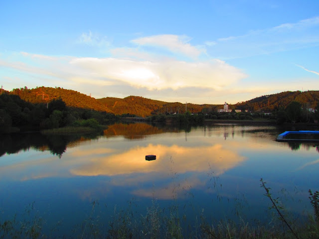
Located on the reservoir of the Belver dam, the River Beach of Ortiga is the ideal place to enjoy pleasant moments of leisure with family and friends close to clean waters. In the surrounding area there are many facilities, such as restaurants and the Camping Park of Ortiga (almost all places occupied with permanent material).
Address:
Ortiga, 6120 Mação
GPS coordinates:
39º28 59.3N / 08º00 06.57W
BELVER DAM
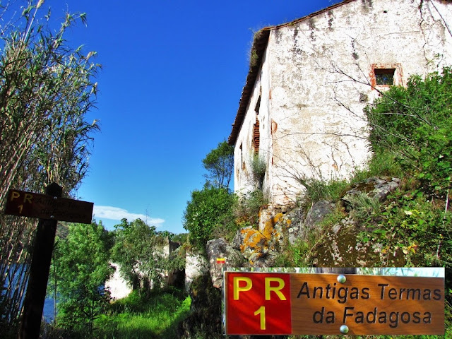
PEDESTRIAN TRAIL PR1
(ARRIBAS DO TEJO).
After passing the river beach of Ortiga, cross the Belver dam, which has a passage for cars and pedestrians.
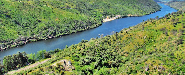
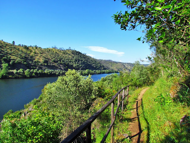
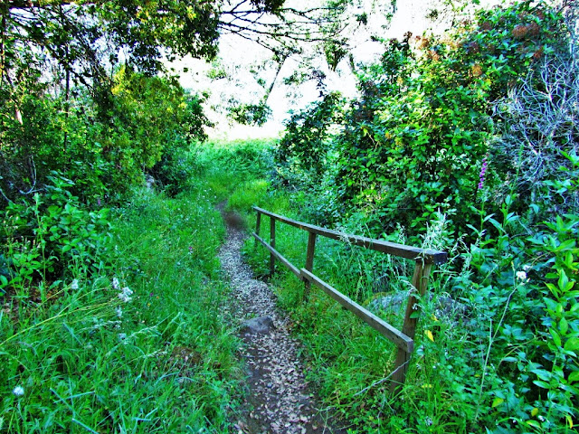
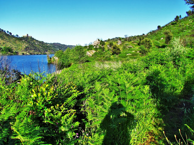
Continue on a pedestrian trail (PR1 - ARRIBAS DO TEJO) with lush vegetation, which presents little difficulty. Always along the Tagus River, continue to the ruins of the old Termas da Fadagosa. Then continue to the river beach of Alamal. It is located in the north of the Alentejo and has an extensive beach and blue flag. On the other bank of the River, the beautiful Belver Castle reigns, high above.
After passing the Alamal beach, continue along the Alamal wooden walkway (Passadiço do Alamal, about 2 kilometers) until the Belver bridge.
RIVER BEACH ALAMAL
River beach Alamal is a soft sandy beach on the Tagus river in Central Portugal. This beach has an amazing view of the Belver castle and a 2 km wooden boardwalk along the river to the Belver bridge.
The beach is a popular location for swimming, canoeing, watersports, and team building. Its a perfect location for relaxing on sunny days in high season the beach is guarded with lifeguards.
There is a bar/restaurant on the beach for lunches, dinners, drinks, and snacks.
ALAMAL WOODEN WALKWAY
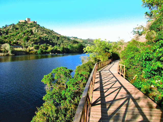
This is a beautiful wooden walkway along the river bank that runs along the cliffs of the Tagus River.
It starts at the bridge of Belver and extends to the river beach of Alamal, involving the parishes of Belver and Gavião.
On this wooden walkway we can walk through a section of the Tagus river valley, because it was always built by the water, in the middle of nature.
This route is quite easy to do. There is no need for physical preparation or special equipment. However, you should be aware that this route is not accessible to people with reduced mobility with wheelchairs.


