CASTELO DE VIDE
N 39.41480; W 7.45597
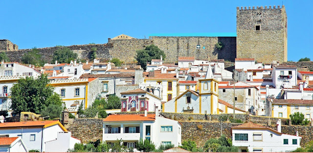
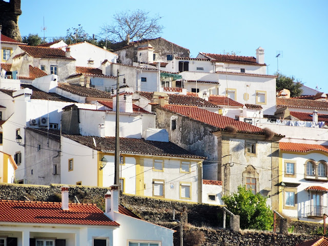
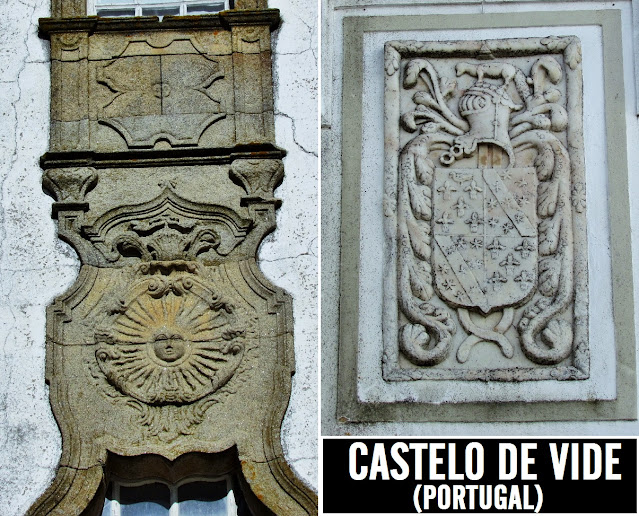
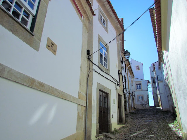
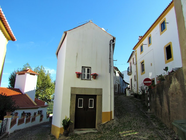
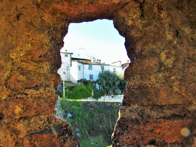
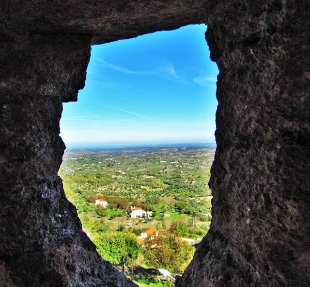
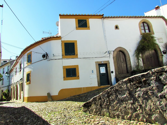
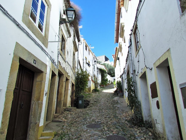
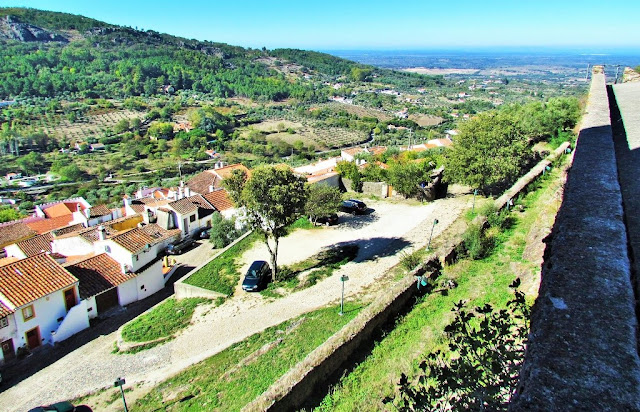
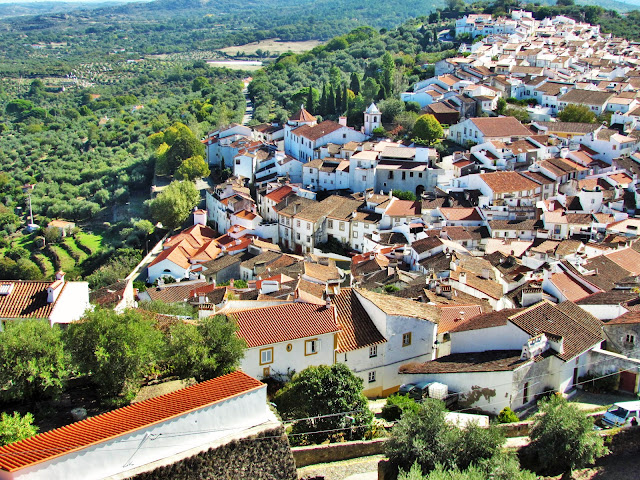
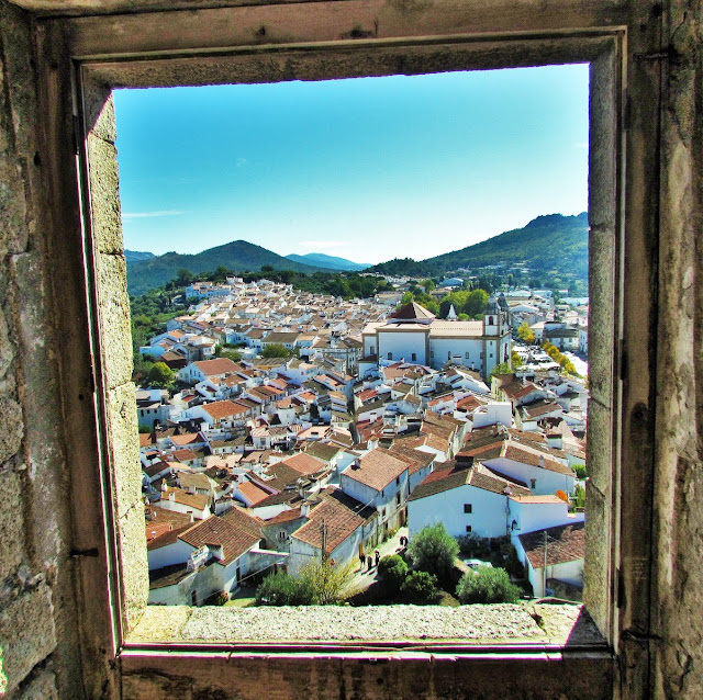
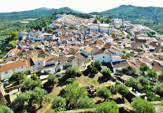
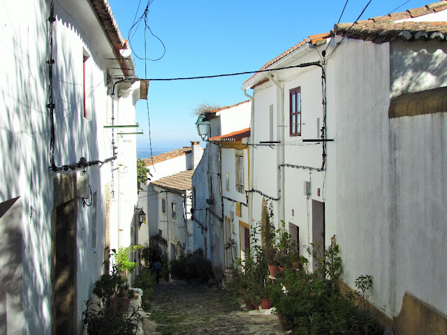
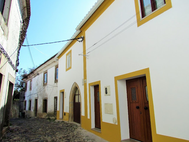
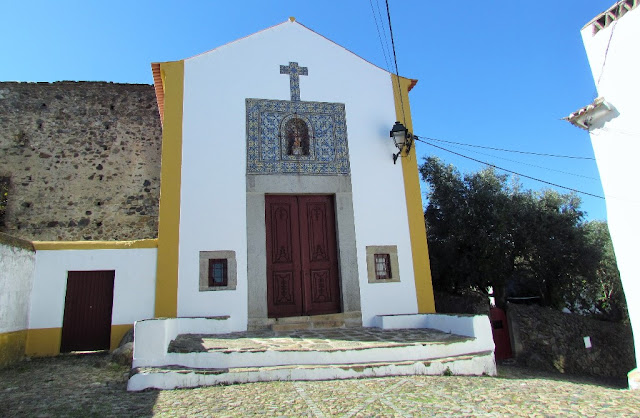
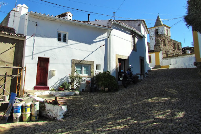
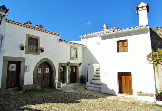
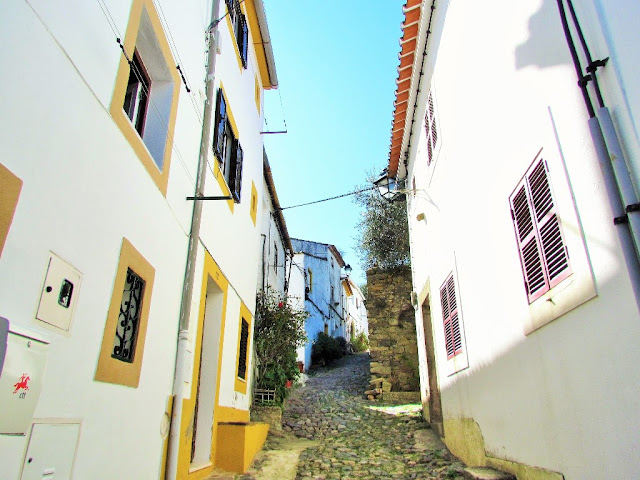
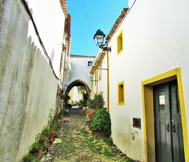
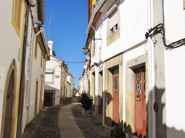
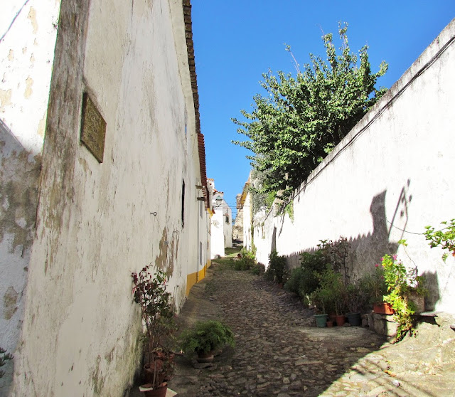
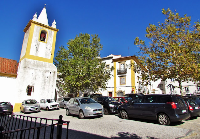
Castelo de Vide is a Portuguese village in the district of Portalegre, Alentejo region and sub-region of Alto Alentejo with around 1,100 inhabitants.
It is the seat of the municipality of Castelo de Vide with an area of 264.91 km² and 3,116 inhabitants (2021), subdivided into 4 parishes. The municipality is limited to the northeast by Spain, to the east by the municipality of Marvão, to the south by the municipality of Portalegre, to the southwest by the municipality of Crato and to the west and northwest by the municipality of Nisa.
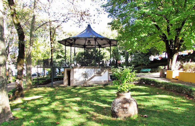
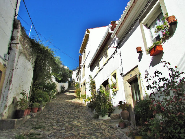
The romantic character of the village of Castelo de Vide, associated with its gardens, abundance of vegetation, mild climate and proximity to the São Mamede mountain range, made it known as "Sintra of Alentejo" (this designation is attributed to King Pedro V).
Parishes
The parishes of Castelo de Vide are as follows:
Nossa Senhora da Graça de Póvoa e Meadas
Santa Maria da Devesa (Castelo de Vide)
Santiago Maior (Castelo de Vide)
São João Baptista (Castelo de Vide)
Heritage
(EN)
Old Town Hall (15th century)
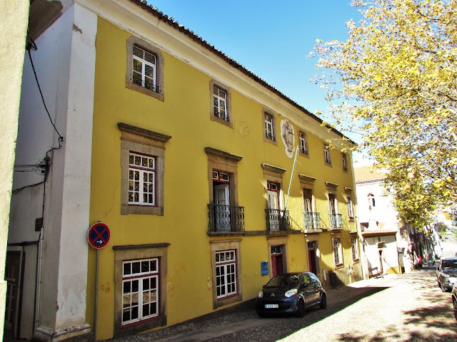
Yellow House (18th century)
Casa de Matos (13th century)
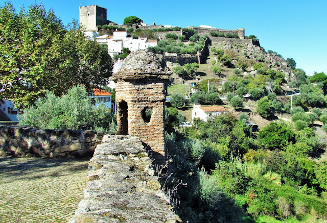
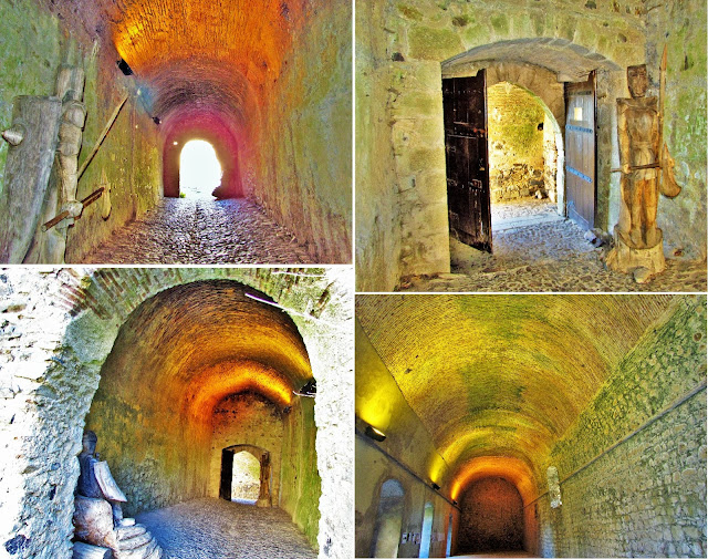
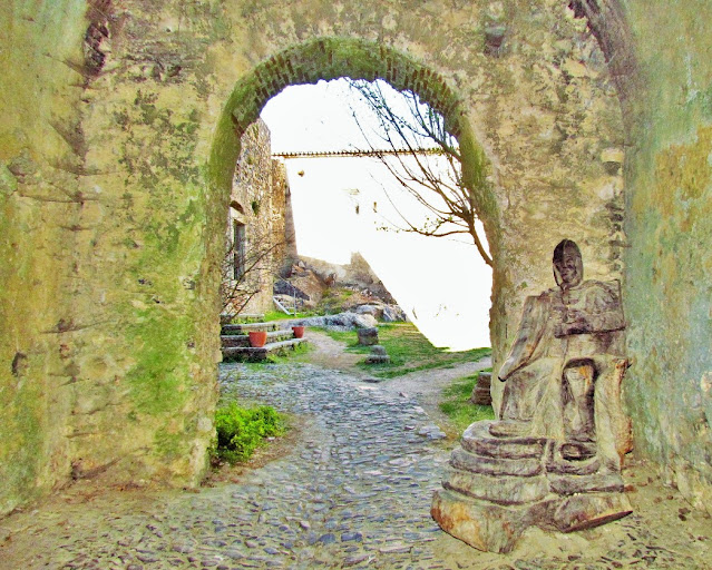
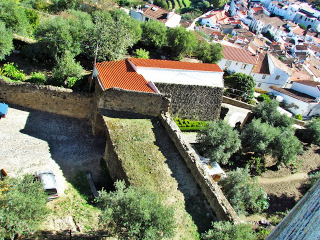
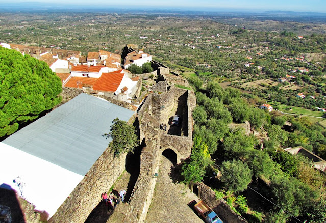
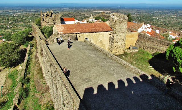
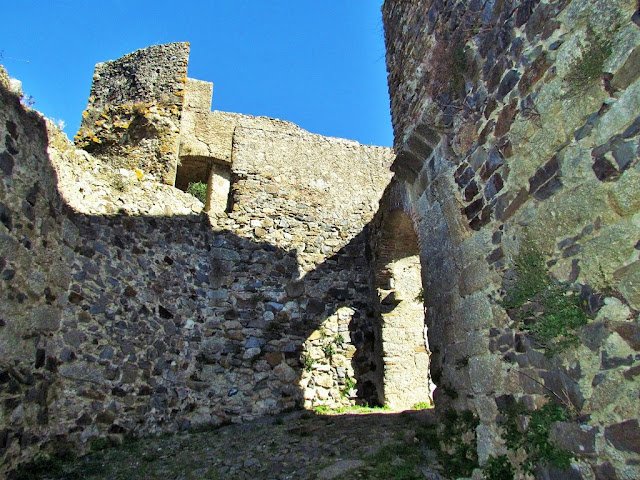
Medieval castle (13th century)
Renaissance fortifications (17th century)
Town Hall (17th century)
Palácio dos Barros Castello-Branco (17th century)
Pelourinho (18th century)
São Roque Fort (18th century)
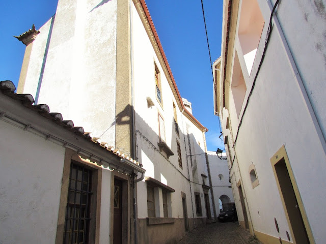
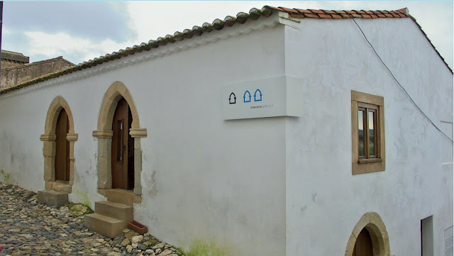
Jewry (14th century)
Old synagogue (14th century)
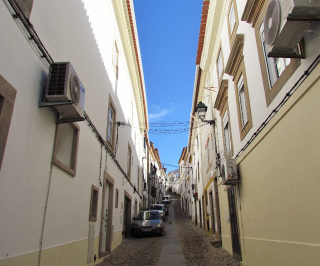
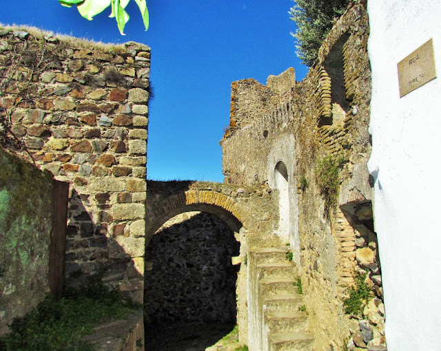
Medieval town (13th century)
Medieval outskirts (14th century)
Our Lady of Penha Sanctuary (16th century)
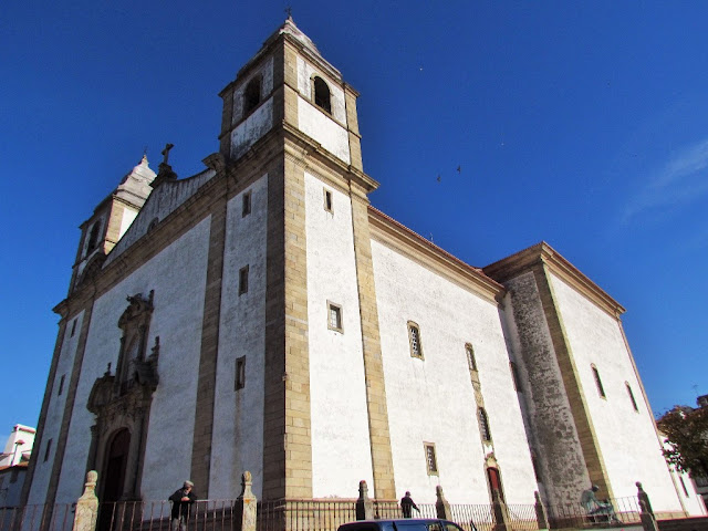
Church of Santa Maria da Devesa (18th century)
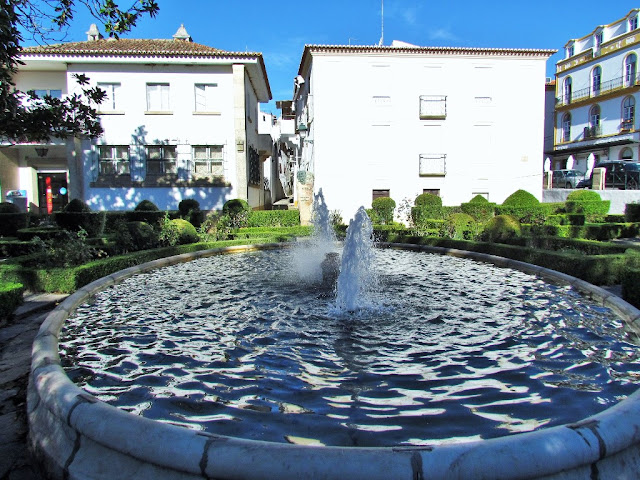
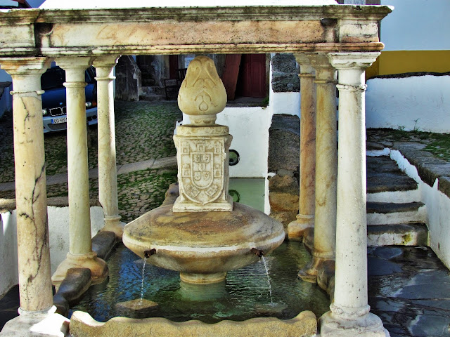
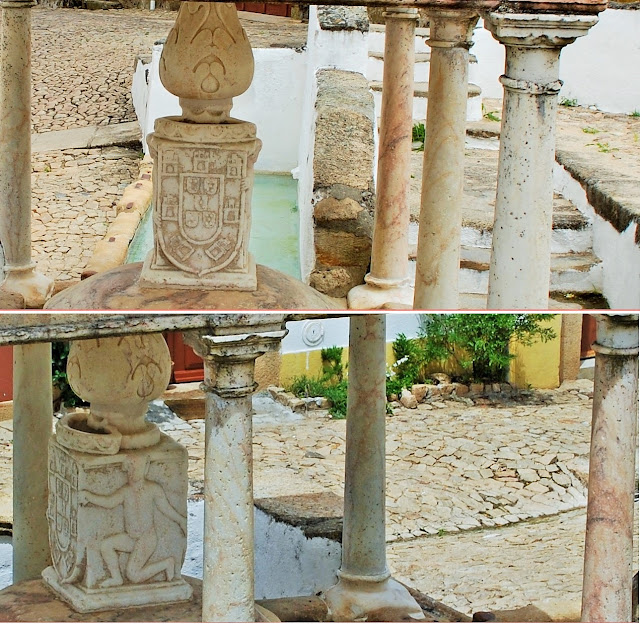
Fonte da Vila (16th century)
Fountain of Mealhada (17th century)
Martin's Fountain (17th century)
Ourives Fountain (19th century)
Montorinho Fountain (19th century)
João José da Luz Park (Jardim Grande) (19th century)
Gonçalo Eanes de Abreu Garden (Small Garden) (19th century)
Jardim Garcia de Orta (20th century)
Penedo Monteiro Viewpoint Garden (20th century)
25th of April Park (21st century)
Serra de São Mamede Natural Park
(PT)
Antiga Casa da Câmara (século XV)
Casa Amarela (século XVIII)
Casa de Matos (século XIII)
Castelo medieval (século XIII)
Fortificações renascentistas (século XVII)
Paços do Concelho (século XVII)
Palácio dos Barros Castello-Branco (Séc. XVII)
Pelourinho (século XVIII)
Forte de São Roque (século XVIII)
Judiaria (século XIV)
Antiga sinagoga (século XIV)
Burgo medieval (século XIII)
Arrabaldes medievais (século XIV)
Santuário de Nossa Senhora da Penha (século XVI)
Igreja de Santa Maria da Devesa (século XVIII)
Fonte da Vila (século XVI)
Fonte da Mealhada (século XVII)
Fonte de Martinho (século XVII)
Fonte do Ourives (século XIX)
Fonte do Montorinho (século XIX)
Parque João José da Luz (Jardim Grande) (século XIX)
Jardim Gonçalo Eanes de Abreu (Jardim Pequeno) (século XIX)
Jardim Garcia de Orta (século XX)
Jardim Miradouro Penedo Monteiro (século XX)
Parque 25 de Abril (século XXI)
Parque Natural da Serra de São Mamede
👇👇👇👇👇👇
NOSSA SENHORA DA GRAÇA
DE PÓVOA E MEADAS
39° 30′ 37″ N, 7° 31′ 07″ W
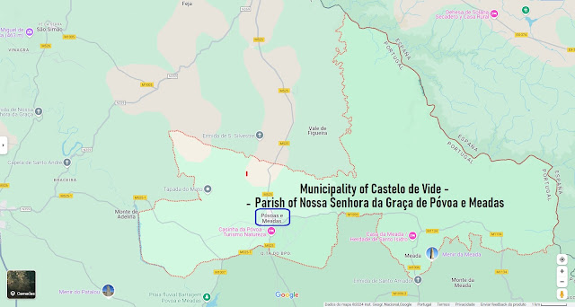
The Parish of Nossa Senhora da Graça de Póvoa e Meadas, based in the village of Póvoa e Meadas, is a parish in the Municipality of Castelo de Vide, with an area of 73.55 km² and 542 inhabitants (2021 census), having, for This means a population density of 7.4 inhabitants/km².
History
Póvoa e Meadas was a town and county seat between 1248 and 1836. It was made up of a parish and had, in 1801, 742 inhabitants.
Description
Póvoa e Meadas is today the seat of a small parish, 12 kilometers north of the municipal seat, Castelo de Vide, and 15 kilometers east of the village of Nisa.
The land's patron saint is Our Lady of Grace. Religious festivals are on August 15th and pagan festivals are usually scheduled for the third week of that month. The feast of Saint Margaret is also observed in September.
The village has its center in Rossio, a small garden with a bandstand, in the middle of the town. There is a main church, dating from the 20th century, with contemporary architecture, and four chapels.
Póvoa e Meadas has a naked football field and several social facilities: Casa do Povo, now operated by the folklore ranch; a nursing home; a medical post; a fresh market.
The following places are in the parish:
Fragosa
Póvoa e Meadas
Quinta da Bela Vista
Quinta do Bispo
👇👇👇👇👇
39°29′45.7″N 7°26′44.6″W
The Menhir of Meada is believed to be the largest menhir in the Iberian Peninsula that was entirely carved by humans. It is situated 12 km to the north of Castelo de Vide in the Portalegre District of Portugal and is within the protected area of the Serra de São Mamede Natural Park.
Description
The monolith, consisting of coarse-grained porphyroid granite, was discovered in a rural area, now used mainly for cork production, in 1965. Discovered in two pieces, it was restored in the 1990s, when the two parts were joined and the complete stone was replaced in its original location. The menhir's total length is about 7.5 metres, with a maximum diameter of 1.25 metres and a circumference of 3.90 metres at the base. It weighs around 18 tons.
Based on radiocarbon dating of coals discovered underneath the base, the menhir is believed to have been raised around 5000 BCE, in the Neo-Chalcolithic period, approximately the same time as the Coureleiros dolmens, or megalithic tombs, that are found in the same district. If this dating is correct, it would make the menhir the oldest yet discovered anywhere in the world. The stone has a cylindrical configuration, with clear phallic contours, accentuated by a bump similar to a glans enveloping the top. The surface is likely to have been polished, and marks left by the tools used for polishing are visible.

